& UTILITY LOCATING
in Geophysical Solutions and Utility Locating Services
at a Glance:
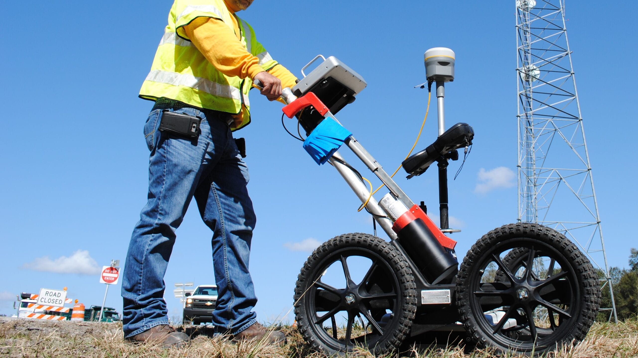
GROUND PENETRATING RADAR (GPR)
Essential Tool for Utility Locating & Detecting Subsurface Features
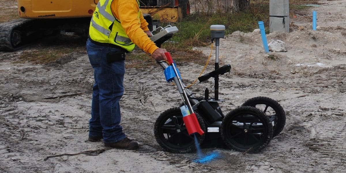
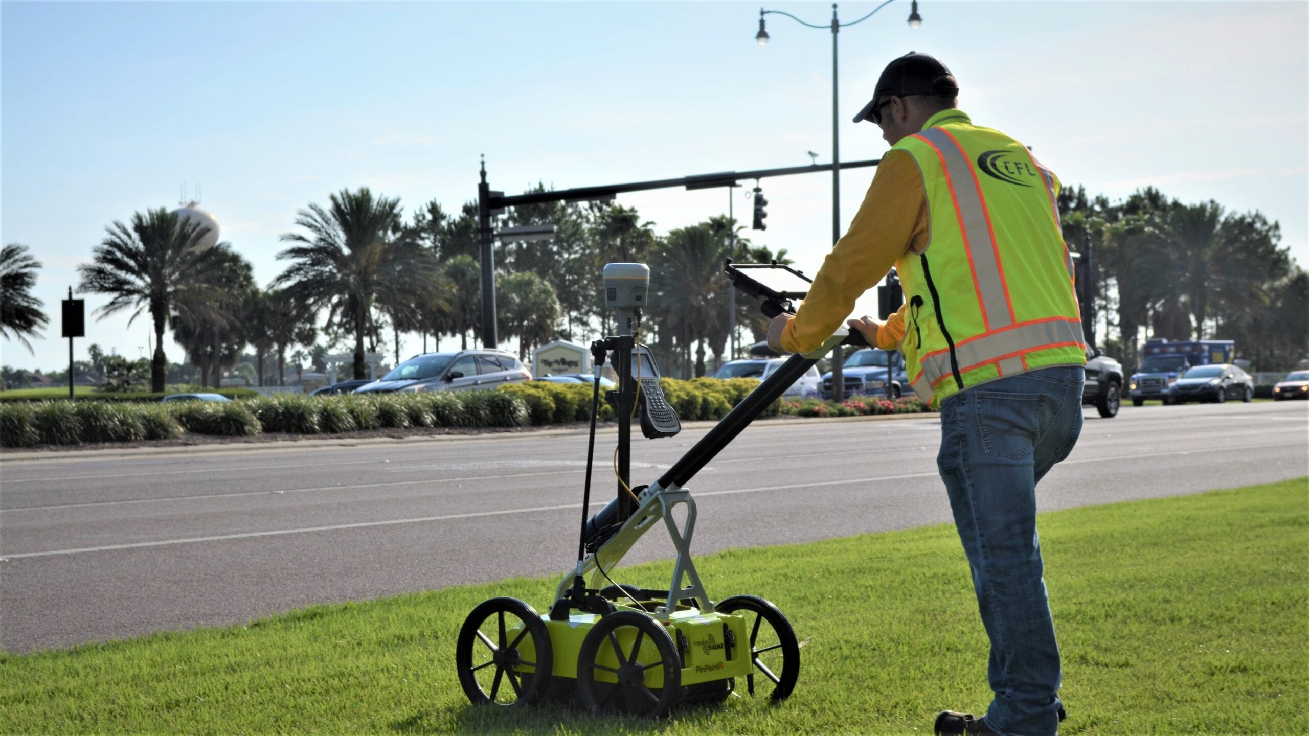
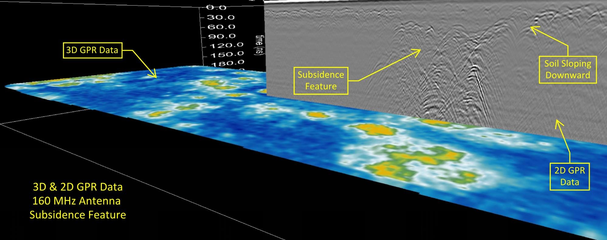
GPR, in the hands of CFL’s experienced technicians and Geologists, is a powerful tool for reducing risks, saving time, and controlling your project costs.
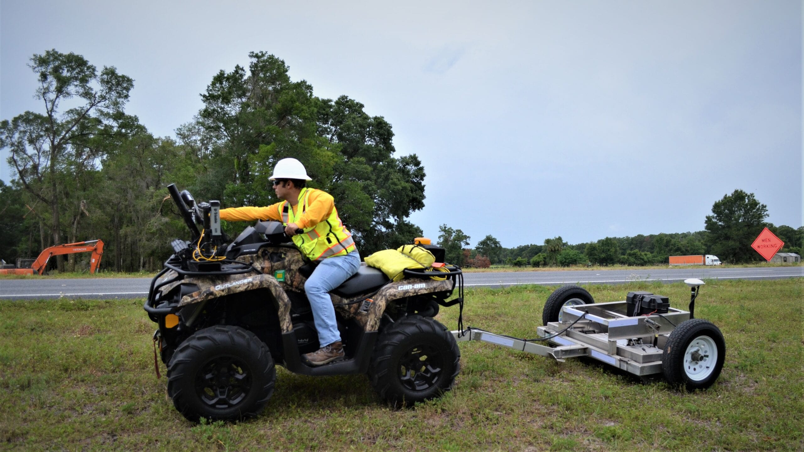
3D GPR Array
The Next Generation of 3D Data Collection Solutions
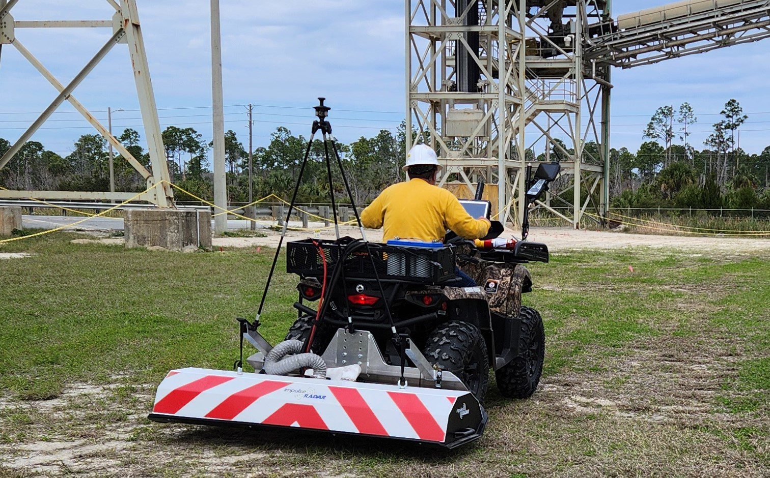
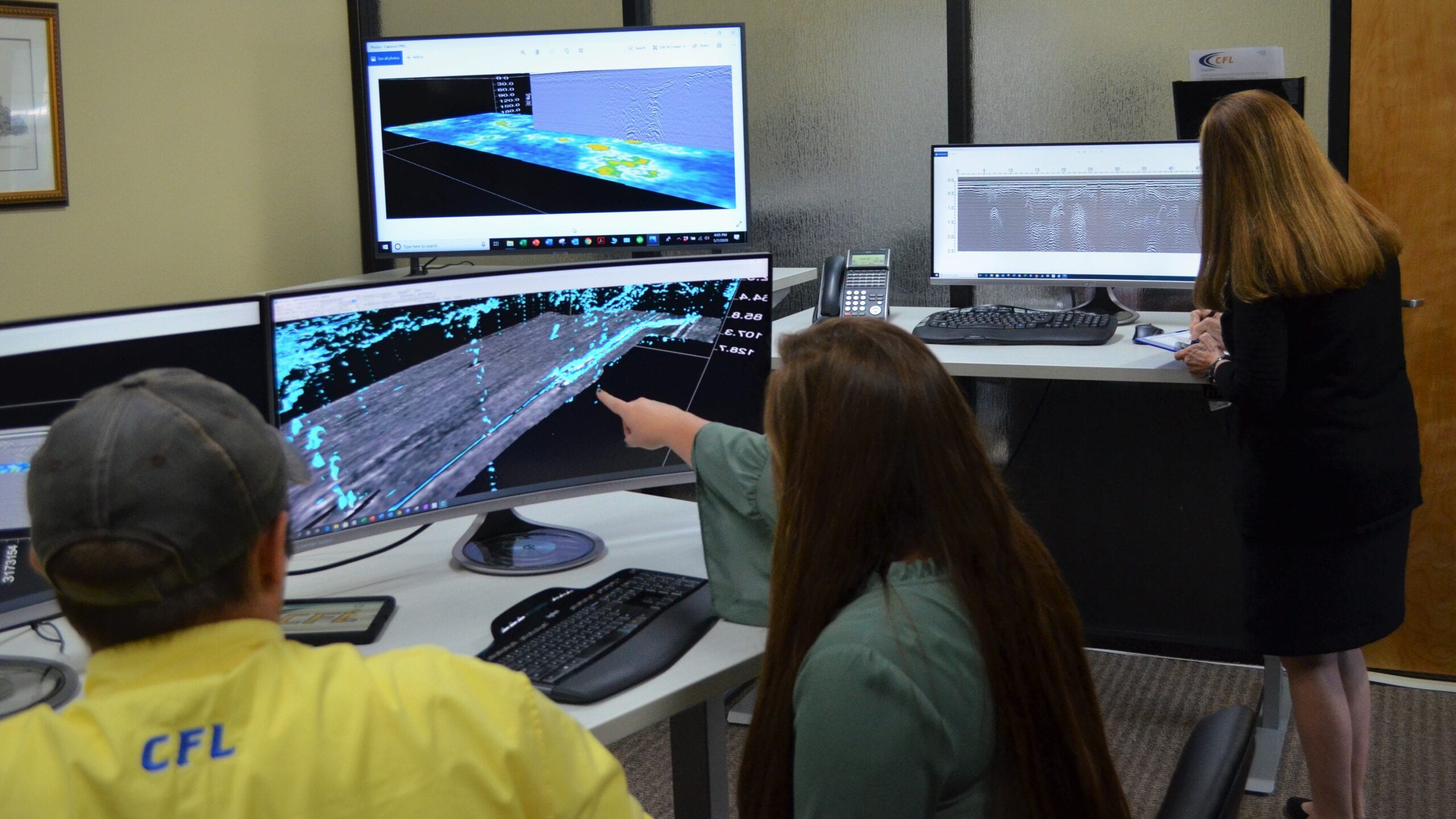
CFL’s 3D GPR Array System has the power to rapidly collect data for larger projects while delivering optimum clarity of the subsurface for the real-time 3D mapping of underground utilities and subsurface features.
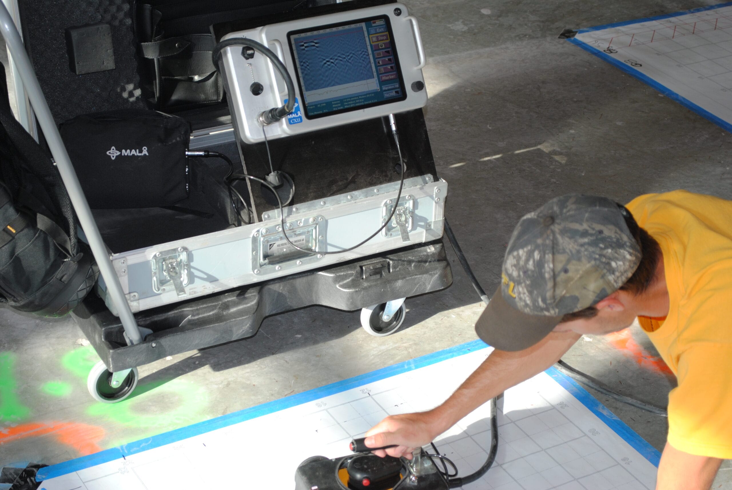
2D/3D CONCRETE IMAGING (GPR)
Reliable Concrete
Imaging for Cutting,
Coring and Drilling
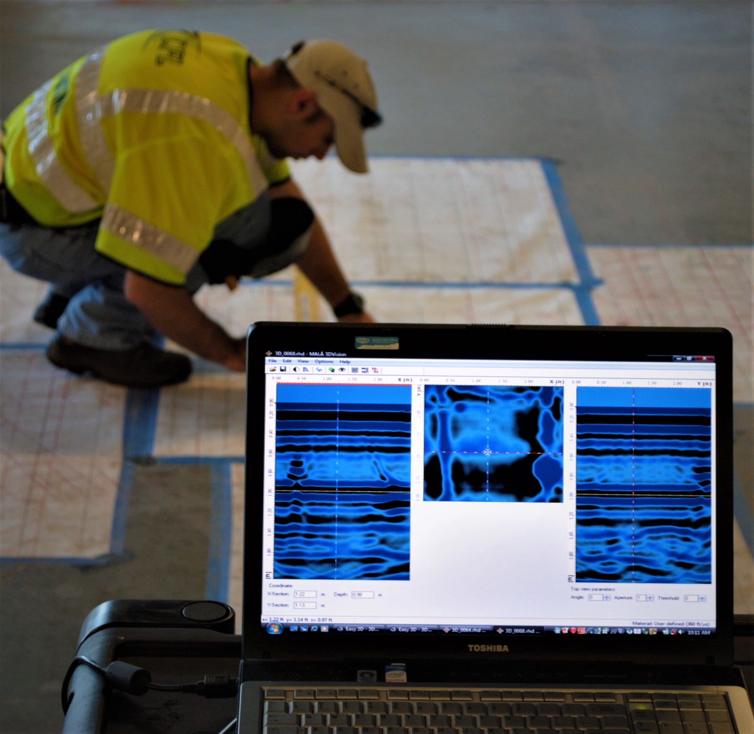
Using state-of-the art GPR Concrete Imaging hand held antennas that are integrated with Electro-Magnetic (EM) technology, CFL’s concrete imaging specialists accurately and efficiently scan in real time for targets such as rebar, conduits, wiring, post-tension cables, and more that, if left undetected, could lead to mishaps involving people and property.
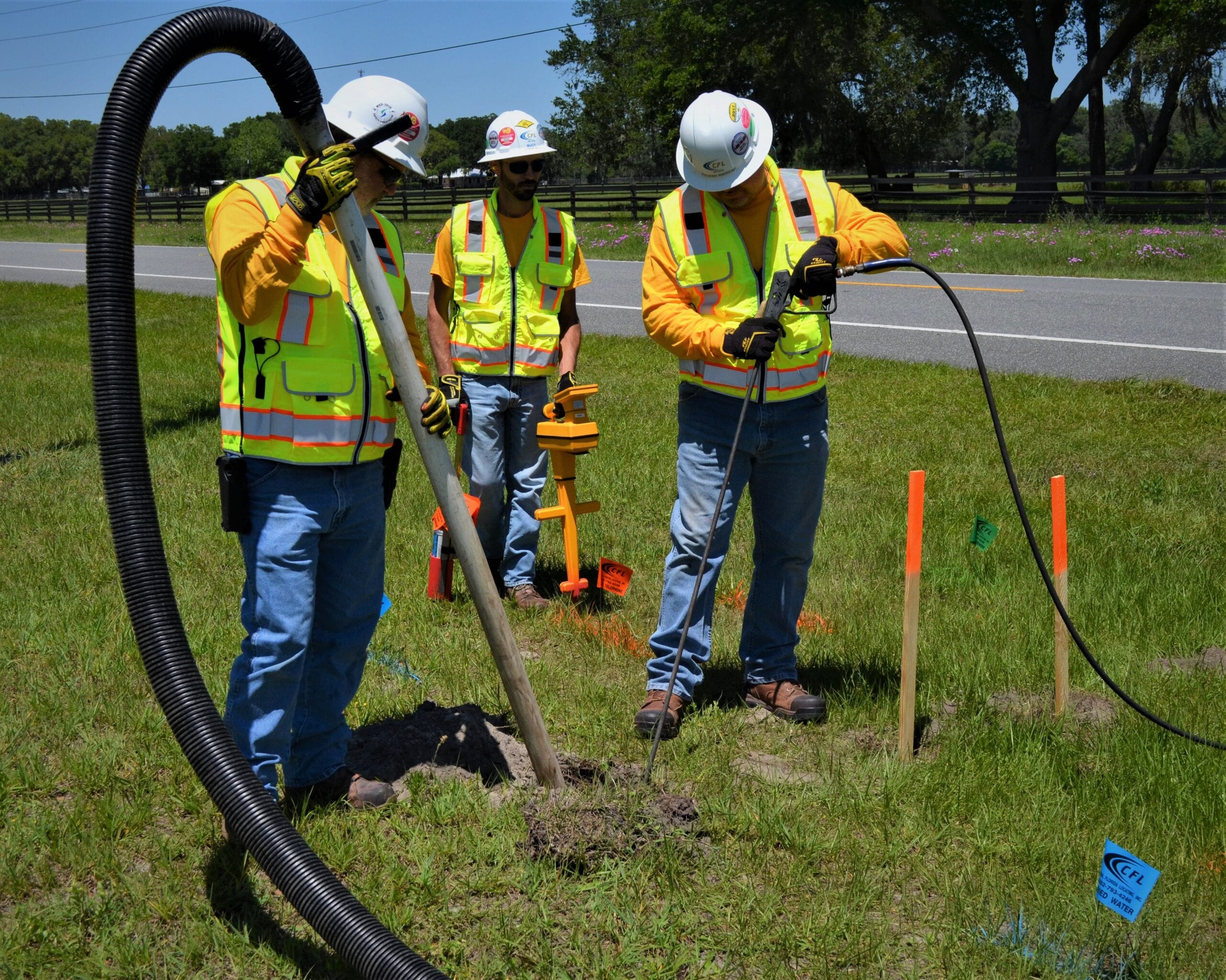
VACUUM EXCAVATION
Non-Destructive, Safe
Soft Digging Method
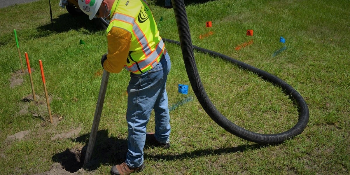
Vacuum Excavation, also known as Soft Digging and Pot Holing, is the smart and effective way to help control the dangers associated with digging around or near underground utilities and other subsurface features.
ELECTROMAGNETIC (EM)
The Fundamental Tool
for Utility Locating
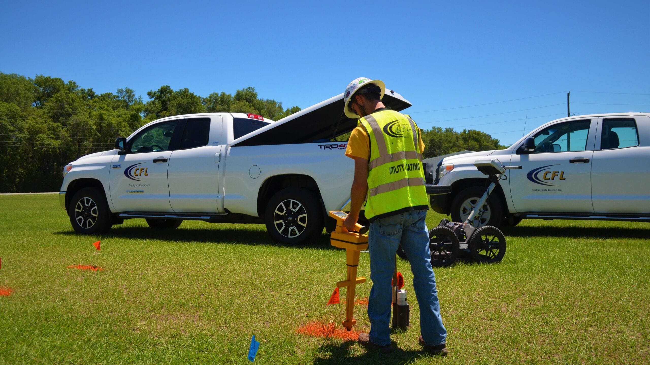
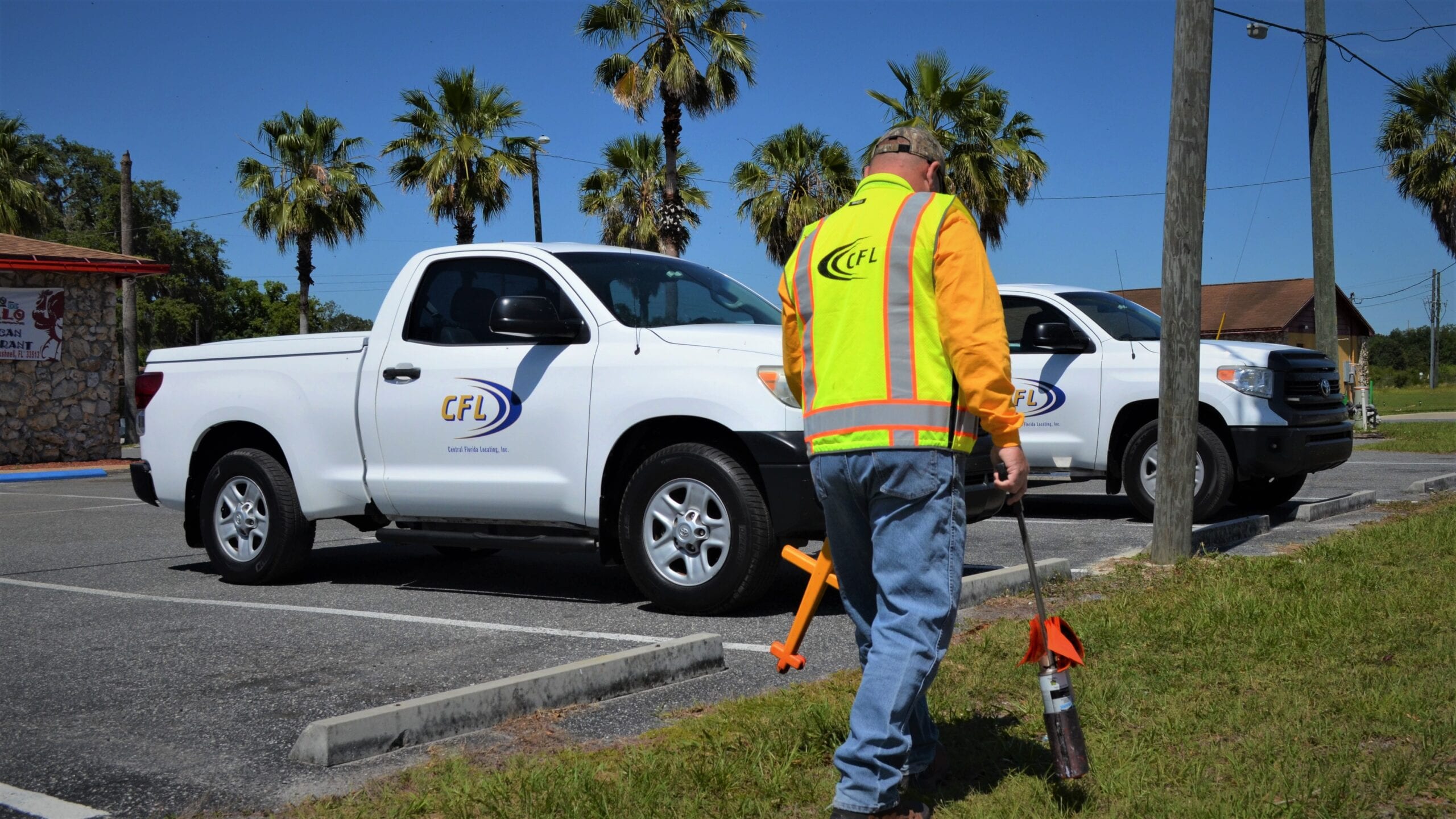
To avoid life threatening risks; costs of interrupted services; unplanned project expenditures; and unnecessary damages to underground utilities, excavators, whether through mechanical or hand digging methods, should schedule EM locating services with an experienced and proven geophysical locate company like CFL.
DIRECT PUSH (DPT)
SOIL SAMPLING
Ultimate Tool for Assessing Site Geology
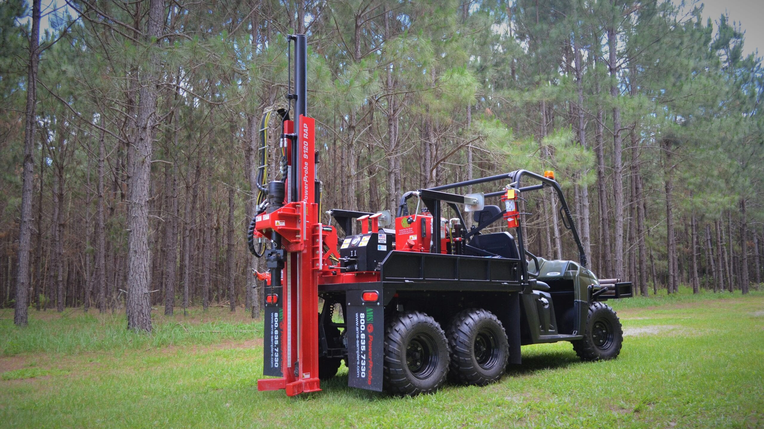
The speed of DPT investigation methods and mobility of the equipment allows CFL technicians to quickly and efficiently recover soil samples that CFL geologists can thoroughly verify, validate, and document.